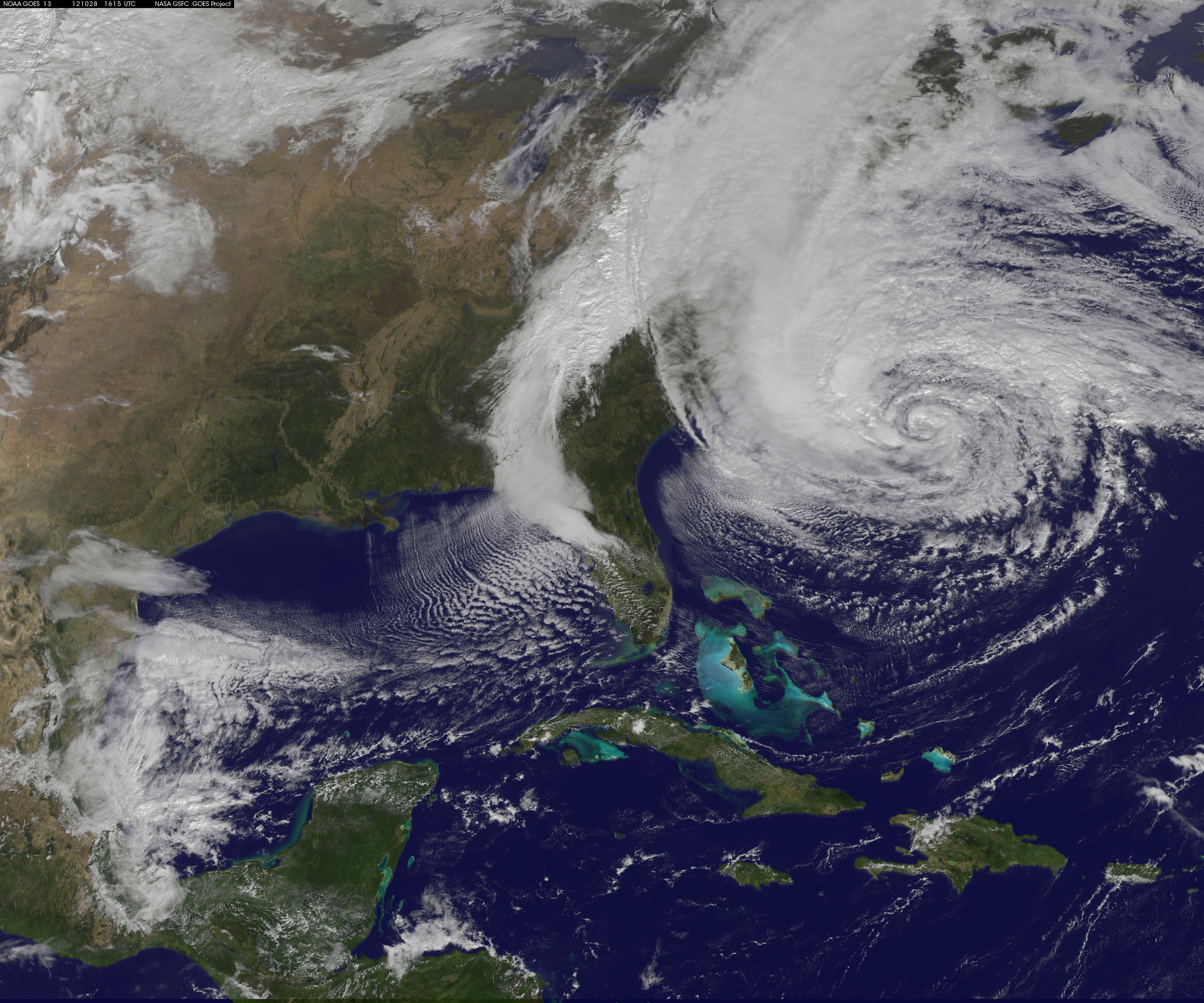
NASA GOES-13 Satellite Image Of Hurricane Sandy Post date 10/28/2012 No Comments on NASA GOES-13 Satellite Image Of Hurricane Sandy Leave a Reply Cancel replyYour email address will not be published. Required fields are marked *Comment * Name * Email * Website Δ